Saturday, August 11, 2012

The Bighorn National Forest

When we were talking with Shelby this morning, after wishing her a happy ninth birthday (!), she mentioned that my blog posts are so long. She's right. Yet, today's may be the longest. Yesterday we drove just over 300 miles through the Bighorn National Forest where the wildlife photos were taken. In all our travels, we have seen so many awesome places that take your breath away. The Bighorn Mountains may have the record for such dramatically changing landscapes; over and over we would just round a curve and the world would look entirely different...quite enthralling.

From Buffalo, WY we drove up to Sheridan, over to Medicine Wheel National Historic Landmark, back to Burgess Junction to catch Hwy 14, down through Ten Sleep, and past Loaf Mountain Overlook where we were on Thursday. Here is a look at our drive in the order we experienced it.


Something we had not seen before but that certainly enhanced our experience were these signs providing the name, the period, and the age of the rocks seen along the drive.


Does anyone else think this giant boulder looks like a toad?


Rich walking along the banks of the North Tongue River.


Me, wading IN the North Tongue River...of course! 
That was the coldest water I've ever been in.


I was excited to see the Medicine Wheel but when we got there, the Rangers meet each visitor with the information that it is a grueling 3 mile round-trip walk, that you must carry water, and that proper footwear is strongly recommended because it is a gravel/dirt road. Rich leashed the girls and off we went. He had water; I wore flips.


I stopped here, already out of breath at this nearly 10,000 foot elevation and in my marginal physical condition. This is where I watched the marmots and pikas.


After I got my breath, I thought I would go just a bit farther and then just a bit farther and then I got to this point. I could see the fence that surrounds Medicine Wheel at the top of that steep incline. The walk so far, on that surface and with several steep inclines, had been extremely arduous for me; I gave up, realizing that I couldn't make that last nearly half mile that you see leading straight up to the right.


Rich and The Girls were already at the Wheel before I made it to the base of that final incline. He took this photo of that special place.


See Rich and The Girls? He has on the blue shirt and is about half way down to where I stopped.


Isn't this a great shot of MOAO and our Girls?


They went on down ahead of me because I knew it was going to be slow going for me. I had not gone far when I look around and saw this rain in the distance; it was only sprinkling on me though.


I confess that this was one of the dumbest things I've ever done. Two miles of extreme grades, up and down and up and down at nearly 10,000 feet in my poor physical condition. Rich was getting worried and took this photo as I came into his view. You can see my red top. By the time I got to the car, he was rightfully irritated that I hiked that distance under those conditions. Maybe I learned something? hmmm


After we backtracked to Burgess Junction, we hadn't driven too far on Hwy 14 before we came to the Shell Falls Interpretive Center. Yes, more than a billion years of geological history in this canyon!


Shell Creek as it approached the fall.


The 120 feet of Shell Falls


Shell Creek coursing through the ancient rock canyon it has carved, at the bottom of the falls.
The Precambrian rock identified in this area is 2.9 billion years old.


We stopped at an overlook, a short distance along the road after we left the falls, to photograph Shell Creek continuing through this ancient rock canyon.


The awesomeness wasn't over, not by a long shot. Here are a few scenes from the rest of our drive.


Can you see the lighter colored rock just to the right of center in this next photo? The light colored pile of rock at the bottom of that light colored face had apparently fallen recently...but that could be years ago in the geological time that measures the age of the rock in this area.


And now we're almost back to the Loaf Mountain Lookout that I posted about on Thursday. If you know about other areas anywhere in the country where the geology is as ancient and the scenes as dramatically varied in such a short distance as the Bighorn Mountains, please let us know. We would love to see it!

Lovin' Life ~~ And the Bighorns

Friday, August 10, 2012

Wildlife in Bighorn National Forest

For nine to ten hours today we explored the Bighorn Mountains, a portion of our drive was on the Bighorn Scenic Byway. Between us there were about 460 photos taken today and we are exhausted tonight so it will take a while for me to get through them. The best I can do tonight is to post photos of the wildlife we saw.

We saw deer four different times today, these was the first. These two bucks were not frightened by our car as they came out of the forest onto the road.


As they crossed the road, they were followed by a third buck which was nearly hit by the blue car coming toward us which barely slowed down. All I could do was watch and hope, so there are no photos of the third.


At one of our planned stops, this marmot was calling to me as I took a break during our hike. As I sat there, several others were playing on the hillside.


While sitting there I also heard this noisy bird which turns out to be a Clark's Nutcracker. It is named for the explorer, William Clark, who described the appearance and behavior of this bird on August 22, 1805 in his journal after observing it in Idaho.


As promised, there were more deer. These three were quite a way off road but watched us until they were satisfied that we were not a threat and then continued grazing.


Just outside the town of Ten Sleep, a single doe ran across the street in front of us. I had lowered my camera just in time to watch her glide effortlessly over a fence on the opposite side of the street.


Our last deer sighting was of these seven, three does and four fawns. This first photo was taken through the bug splattered windshield but I like it because all seven deer are in it...one fawn is behind the doe on the left. The center doe ran into the forest.

Here is the doe on the left with two of the fawns.


And last, this is the doe on the right with the other two fawns. I LOVE this photo!


We also saw pikas playing on the hillside where the marmots were and a rafter of wild turkeys but I didn't get any photos of them.

Lovin' Life ~~ Seeing Wildlife

Thursday, August 9, 2012

Buffalo, WY

After a late morning of planning and making reservations for our next stop, we spent some time exploring Buffalo, our hometown for a few days. There is a new Visitor Center at the I-90 exit with the most welcoming monument and sculpture (named Cool Water, by D Michael Thomas) I've seen.


There are several working artist studios here and the area has a quite colorful wild west history. We walked around downtown; ate lunch at a cafe that's been there since 1927; absorbed the sounds and beauty of Clear Creek running through downtown; checked out the free public swimming pool which is the biggest pool in WY; and watched two women paint this magnificent mural in what will be a new downtown community space.


Just outside town to the west are the Bighorn Mountains. I don't believe I had ever heard of these mountains but I'm certainly glad we know them now. Here are scenes of the drive into Bighorn National Forest.


It's only sixteen miles from town up to the Loaf Mountain Overlook; just look at all the layers of mountains seen from this point.


A forest of Lodgepole Pine Trees begins to the side of the parking lot at the Loaf Mountain Overlook. See Rich walking away into the forest? These trees grow so dense that one could quickly get lost.


Looking up through the pines.


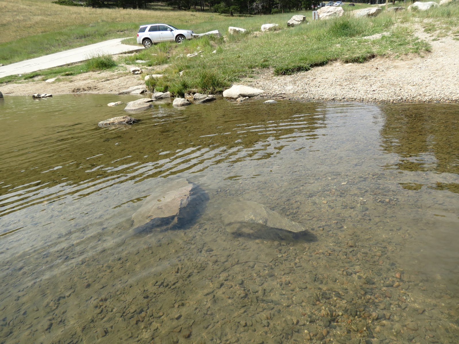
On our way back to town, we turned off the highway onto the road leading to Tie Hack Reservoir. I can't explain it, but I LOVE wading out into a stream, creek, lake, ocean...there's something primordial about it for me. This was for real, in person, my idea of perfection, Cool Water, just like the name of that sculpture.


Rich is waiting in our car for me to leave the water so we could go...so patient.


Driving back to the highway on the narrow dirt road, we stopped to photograph a few of the amazing rock formations.


A pretty gnarly storm just passed through here and it's getting late. Tomorrow we'll see even more of this beautiful mountain range.

Lovin' Life ~~ and Cool Water

Little Bighorn Battlefield National Monument

Yesterday was a day off for relaxing...if you can call a day of laundry, cleaning, hair cut, shopping, and dining out to be relaxing! Miles City, MT was the perfect small town for a stop; it had everything we needed, including the most perfect laundromat. The Express Laundry Center is the cleanest, most modern facility ever with lots of folding tables and comfortable seating. If you need to do laundry anywhere near Miles City, you know where to go.

We are adjusting our itinerary again; we've decided to back track to South Dakota's southwestern section as soon as the Sturgis thing is over. There are several places in that area we really want to visit. Today though we drove another 235 miles and are now in Buffalo, Wyoming at the base of the Bighorn Mountains.

At 8:50 this morning we saw a herd of Pronghorns along the road. If we had noticed them sooner, the photos would have been better but hopefully you will enjoy them almost as much as I enjoyed seeing them.


We drove along the lovely Yellowstone River for much of the morning.


The highlight of the day though was our stop at the site of the Little Bighorn Battlefield National Monument. Even though the day was blisteringly hot, we ran the generator for the air conditioning so The Girls would be okay while we walked up to Last Stand Hill and over to the Indian Monument.


The following picture is of Last Stand Hill where Custer and his men lost their battle. These marble memorial markers are placed where the men fell; Custer's is the one near the center with black on its front. There is also a closeup of the Custer memorial marker.


The soldiers had to shoot their horses to use them as breastplates. A diorama in the Visitor Center depicts the battle and on Last Stand Hill there is a marker recognizing the role of the horses in this famous battle.


The monuments marking the spots where Indians died in the battle are made of red granite. Surviving Indians removed the bodies of the dead warriors so there is little accurate information about the number and location of those losses.


From the top of Last Stand Hill, I took this photo looking down at the Visitor Center to show how vast is the land where this battle was fought. If you look very closely you can see our RV. It is the second one from the right edge of the photo.


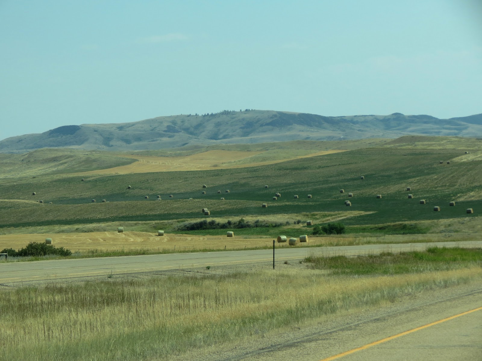
After we left the Battlefield there were many scenes of great beauty as we drove through southeast Montana into northeast Wyoming.


It is much less humid and the temps cooled down enough this evening that we walked a short distance to dinner and even sat outside for a little while...until it was time to watch the Olympics, of course!

Lovin' Life ~~ Visiting Historical Sites

Wednesday, August 8, 2012

Driving Tips

Here are a couple of tips when driving because, again, part of the community service segment of this blog is to inform you.

Driving Tip #1

When riding your motorcycle, please keep in mind that it takes a while for us to slow down a motorhome. Therefore, rather than swerve close in front of us while braking please just drop behind us. That state sign, indicating that you just entered a different state, will still be there 30 seconds later for you to take a picture. Try to make sure you're still alive in 30 seconds to take the picture, okay?


Driving Tip #2

When driving your motorhome or pulling a trailer, it is important to know the clearance height of your vehicle. It is also important to figure in an allowance for the slope of the street going under the overpass. Otherwise, this could be your rig! This rig was brand new, but now needs two new air conditioning units and who knows what other damage may have occurred on the roof.


Driving Tip #3

Select a GPS app that enables you to enter important information such as the height of your vehicle. An app that allows you to design parameters about your vehicle and driving preferences will help you avoid the problem experienced by the driver in Tip #2. Our app, which is CoPilot Live, routed us around that overpass on Main St. in Miles City, MT.

Driving Tip #4

"Pull your head out of your ___________ (fill in: phone, map, tablet, makeup, daydream, snack, etc) when entering or leaving an interstate, freeway, or side street. A courteous awareness of our cumbersome vehicle is greatly appreciated. And...if you're driving, you should always be aware of vehicles around you and any limitations they may have anyway.

Lovin' Life ~~ Travelin' Safely Is Our Hope

Bakken Formation

Even though it has been a couple of days since we left North Dakota, I want to publish a brief post about all the oil field activity up here. I am reposting this photo because it is the only one I have that shows a complete well. This is the one I took from inside the Theodore Roosevelt National Park.


We have seen many of these well sites in various stages of construction all through western North Dakota, and we didn't even drive on up to Williston which is the center of the activity.

The following article is copied from the National Parks of North Dakota Visitor Guide and it provides an interesting description of the level and the impact of this activity.

"What's Going on Around Here?!"

"Surprised by the amount of truck traffic in the area? Unable to get a hotel reservation? Can't find the sleepy cowboy towns you remember? The reason for the incredible changes this area is experiencing lies two miles below the surface of western North Dakota - a formation called the Bakken. The Bakken formation is a rock layer rich with oil reserves. Until recently, the oil was not extractable. A new and controversial technique - hydraulic fracturing or "fracking" - has allowed oil companies to more than quadruple their daily oil production in the last five years. The huge influx of activity has brought tens of thousands of new jobs to the area. In a national economy where jobs are scarce, North Dakota has become the "land of opportunity" for many.

All three North Dakota National Parks are experiencing serious issues due to the oil boom. New wells are going in every month; many can be seen from inside park boundaries. Each new well means another drill rig, well pad, pumpjack, debris pit, flare pit, storage tanks, and access roads on the landscape. Each new well requires 2,000 "trucking events" to complete its setup and to begin pumping oil. Noise and dust from heavy truck traffic and pumping equipment is constant. Numerous flares can be seen in the formerly dark night sky as excess natural gas is burned off. Socioeconomic impacts are altering local communities. A multifaceted topic to be sure, the oil boom begs a difficult question: how can we develop our resources while still protecting our parks and communities?"

Just traveling through we have seen panhandlers at intersections in small towns, days long waiting lists for a haircut, increased costs, help wanted signs at many types of businesses, and a group of five fifth-wheels and trailers apparently traveling together because they displayed signs saying "North Dakota or Bust"...I wish them well but, from all I've read, the living conditions are harsh, to put it mildly.

Having minimal knowledge of the recent oil boom in these parts, I've been fascinated with this peek at the situation. Gotta go...we just parked at the Little Big Horn Battlefield!

Lovin' Life ~~ Always Learning